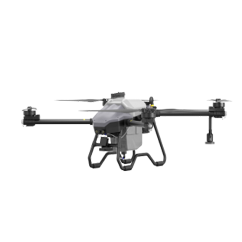
Discover the Best Eding UAV for Elevated Aerial Photography
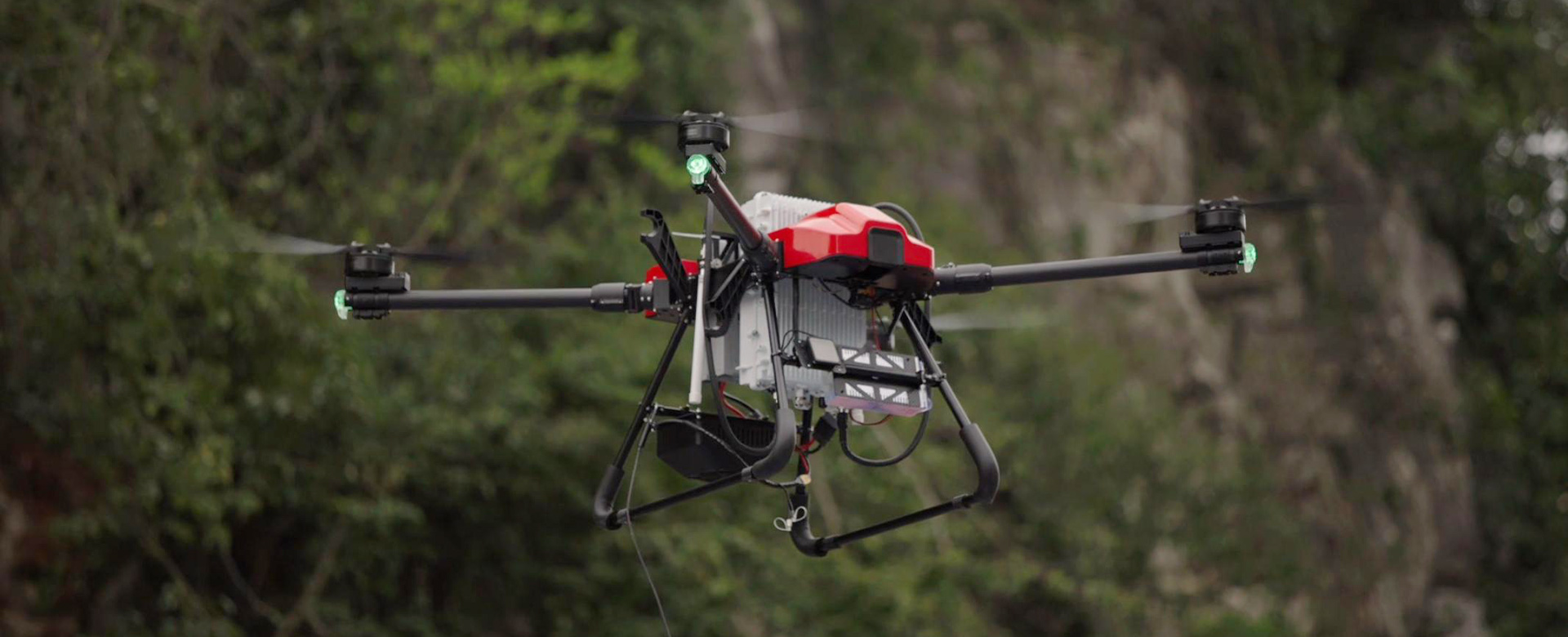
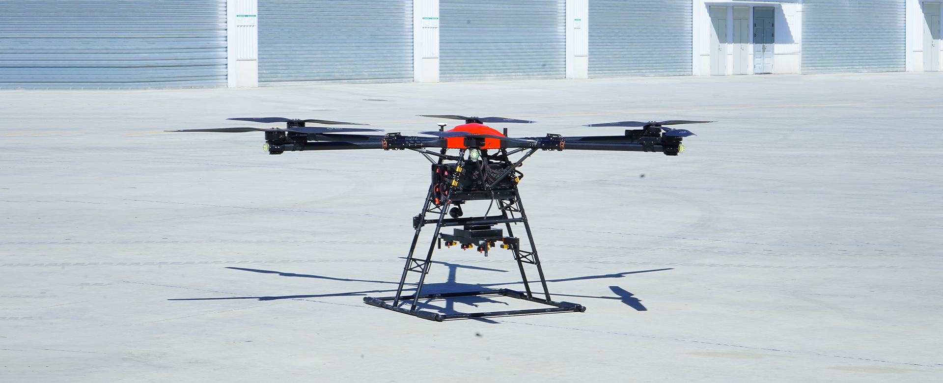
Looking for the best UAV for precision agriculture, mapping, or surveying? Look no further than EDING Intelligent Technology Co., Ltd.! Our best-selling UAV, the EDING-2000, is the top choice for professional users seeking high-precision data collection and efficient workflow. Equipped with state-of-the-art technology, including advanced GPS and obstacle avoidance systems, the EDING-2000 offers exceptional stability and control for capturing accurate and detailed aerial imagery, With a flight time of up to 60 minutes and a maximum operating range of 10 kilometers, this UAV is designed to cover large areas with ease. The high-resolution camera and multispectral imaging capabilities make it an ideal solution for various applications, from crop monitoring to infrastructure inspection, At EDING Intelligent Technology Co., Ltd., we are committed to providing the best UAV solutions for our customers, and the EDING-2000 is no exception. With its superior performance and reliable quality, it is the go-to choice for professionals in need of a high-end UAV for their projects