Discover the Best High Altitude Mapping Services for Accurate Results
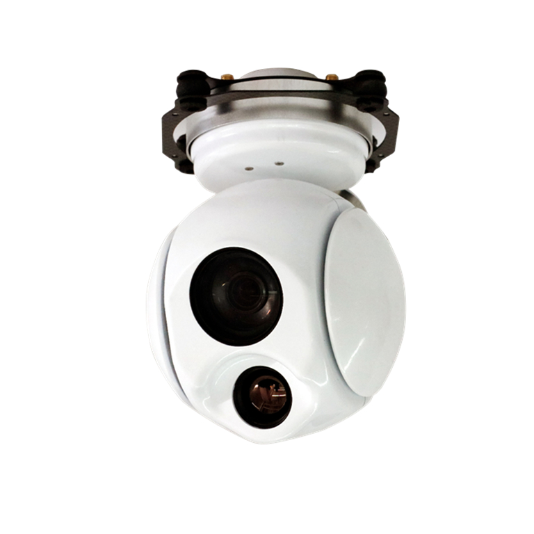
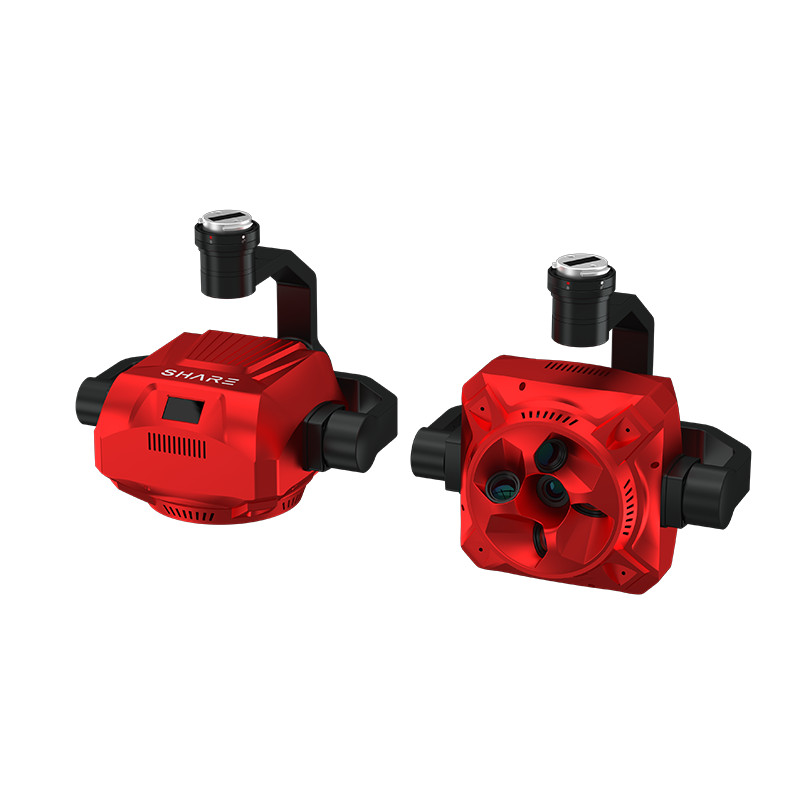
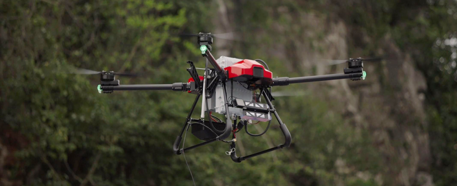
Discover the best high altitude mapping solution with EDING Intelligent Technology Co., Ltd. Our innovative product offers the most advanced technology for accurate and efficient mapping in high altitude environments. Whether you are conducting aerial surveys, monitoring landscapes, or studying remote areas, our high altitude mapping solution provides unparalleled precision and reliability, Equipped with state-of-the-art sensors and intelligent software, our product is designed to deliver high-resolution and detailed mapping data even in challenging high altitude conditions. Our advanced technology allows for seamless integration with various unmanned aerial vehicles (UAVs) and other aerial platforms, making it a versatile and cost-effective solution for a wide range of mapping applications, With EDING Intelligent Technology Co., Ltd.'s best high altitude mapping solution, you can access comprehensive and up-to-date mapping data to support your projects and decision-making processes. Trust in our expertise and experience in providing cutting-edge mapping solutions for high altitude environments. Elevate your mapping capabilities with our top-of-the-line product