Explore China's High Altitude Mapping with Our Advanced Tools
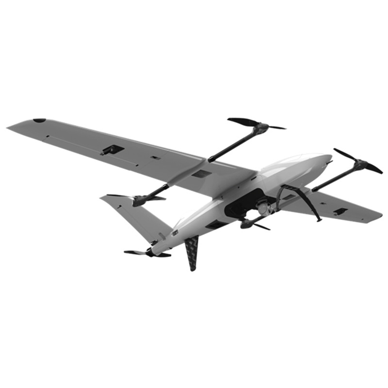
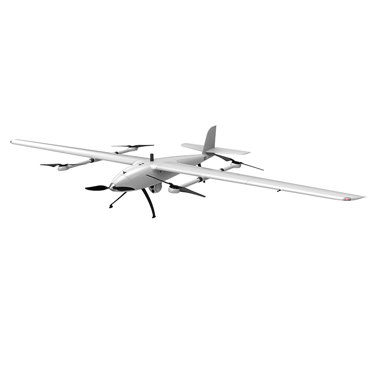
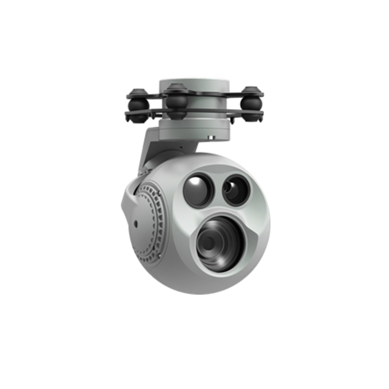
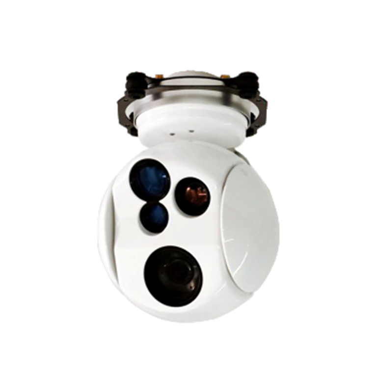
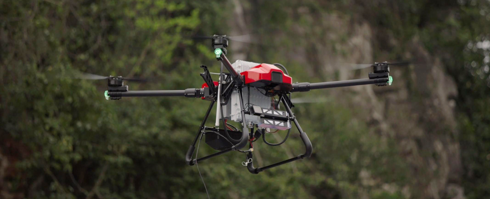
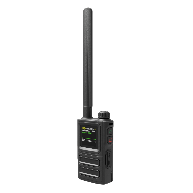
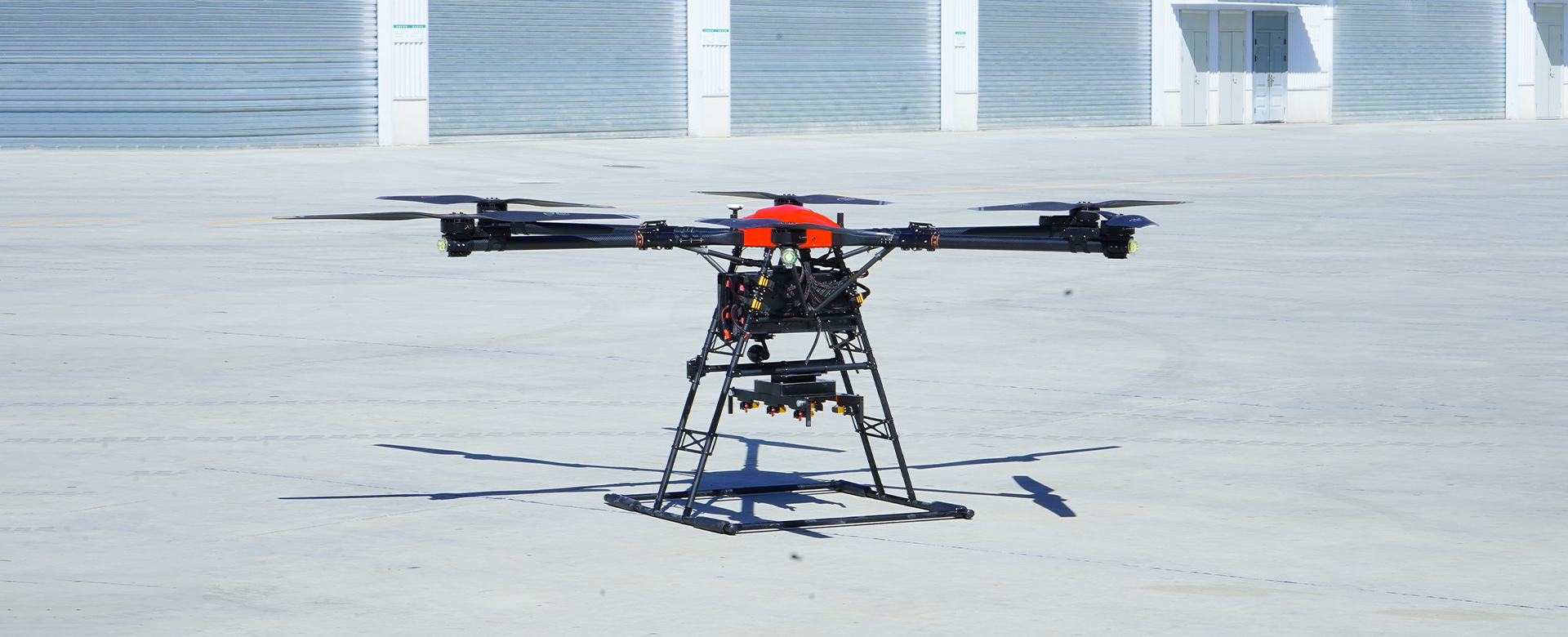
Enhance your high altitude mapping projects with the innovative technology from EDING Intelligent Technology Co., Ltd. Our China High Altitude Mapping system is designed to provide accurate and detailed mapping data in even the most challenging environments, Equipped with advanced sensor technology and precision navigation, our high altitude mapping solution ensures that you can capture high-resolution images and data with unparalleled clarity and accuracy. Whether you're mapping mountainous terrain, conducting ecological surveys, or monitoring environmental changes, our system provides the reliable data you need to make informed decisions, In addition, our China High Altitude Mapping solution is designed for ease of use and efficiency, allowing you to streamline your mapping processes and maximize productivity. With EDING Intelligent Technology Co., Ltd., you can trust that you're getting a high-quality, reliable solution that meets the demands of high altitude mapping projects, Choose EDING Intelligent Technology Co., Ltd. for your high altitude mapping needs and take your mapping projects to new heights