The Best GPS Drone for Aerial Photography and Mapping | Shop Now
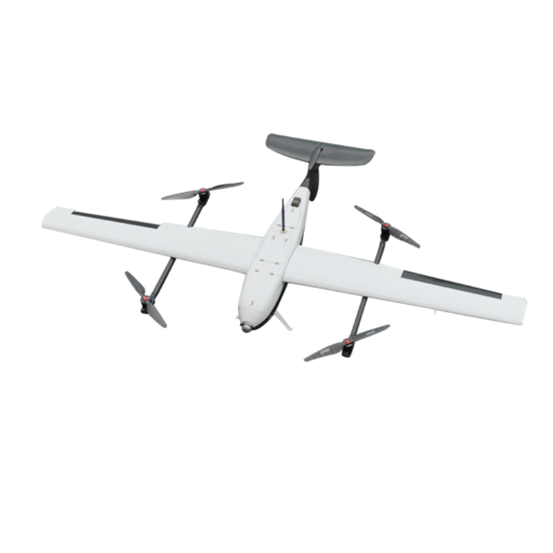
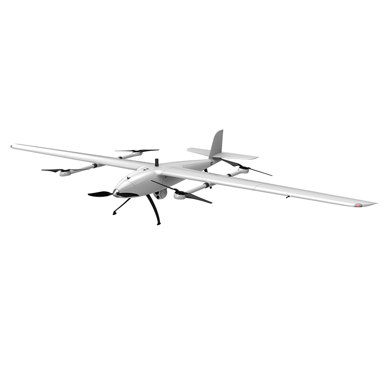
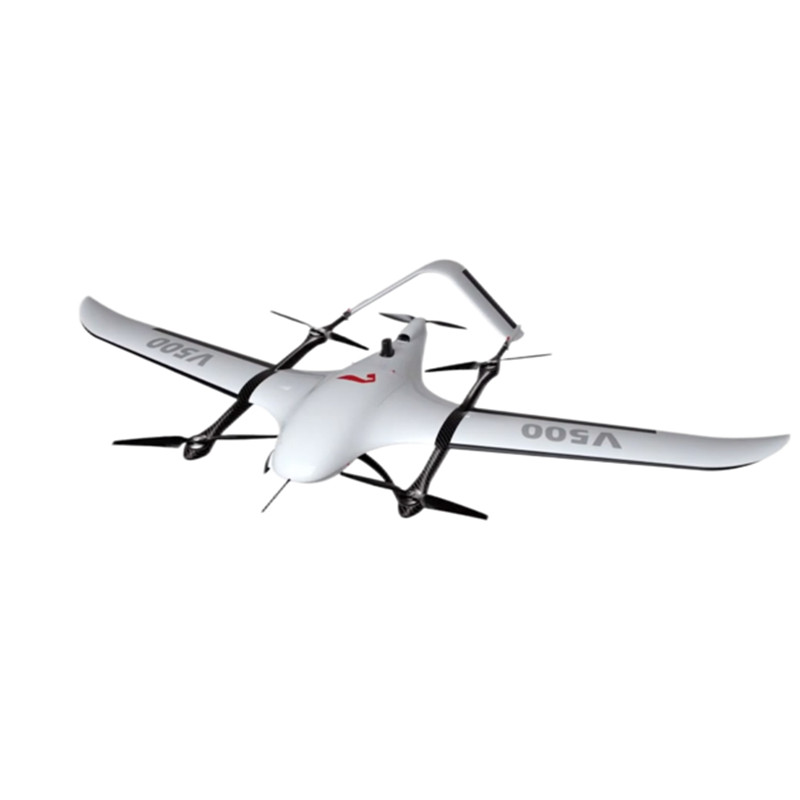
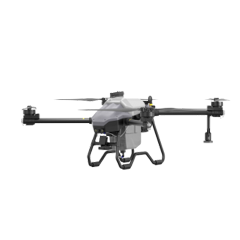
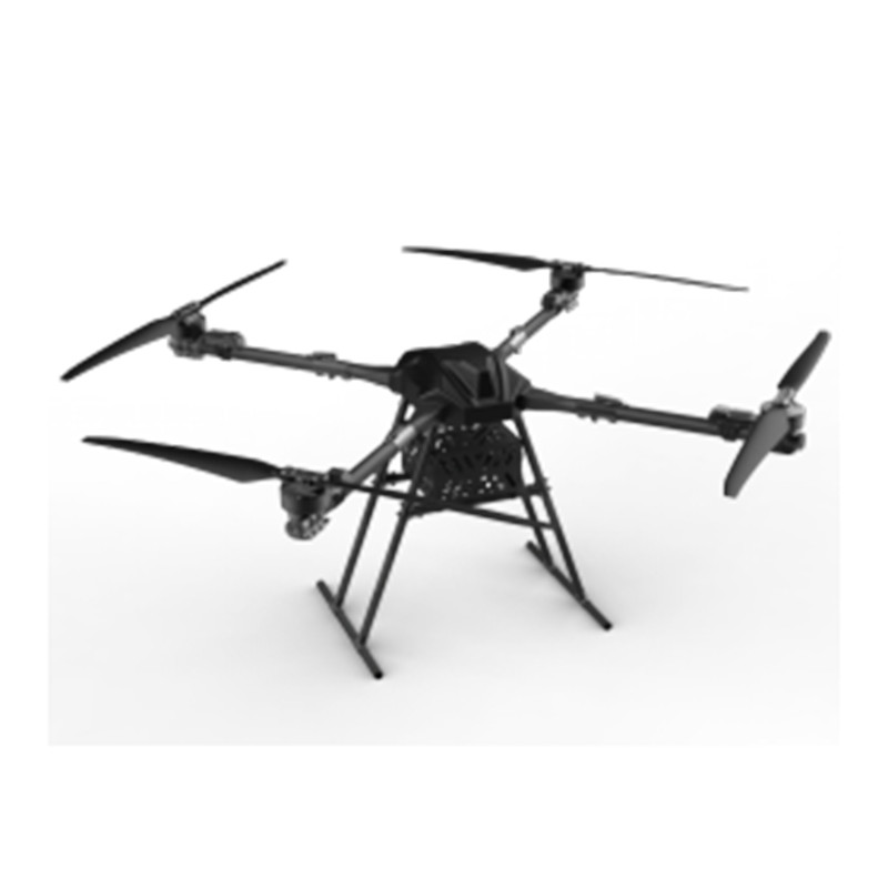
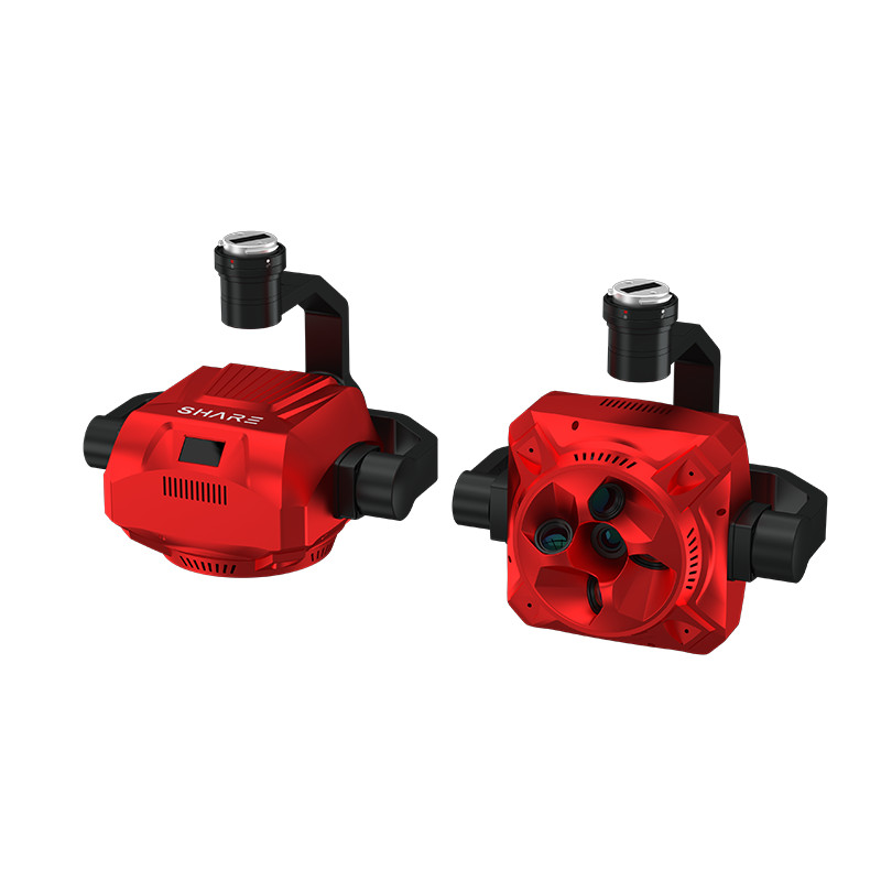
Discover the limitless possibilities of aerial photography and exploration with our cutting-edge GPS Drone. Developed by EDING Intelligent Technology Co., Ltd., this high-tech drone is equipped with advanced GPS navigation capabilities, allowing for precise and stable flight performance, Our GPS Drone is designed for professional photographers, aerial mapping specialists, and outdoor enthusiasts who demand exceptional image quality and reliability. The built-in GPS system enables accurate positioning, precise hover, and automated return-to-home functions, ensuring a safe and worry-free flying experience, Equipped with a high-resolution camera and gimbal stabilization technology, our GPS Drone captures stunning aerial footage and crystal-clear images from unique perspectives. The intelligent flight modes, such as Follow Me and Waypoint Navigation, provide effortless control and seamless operation for users of all skill levels, Whether you're capturing breathtaking landscapes, conducting surveying or search and rescue missions, or simply exploring the world from a new perspective, our GPS Drone from EDING Intelligent Technology Co., Ltd. is the perfect tool to elevate your aerial adventures