High Altitude Mapping Company: Expert Aerial Surveying Services
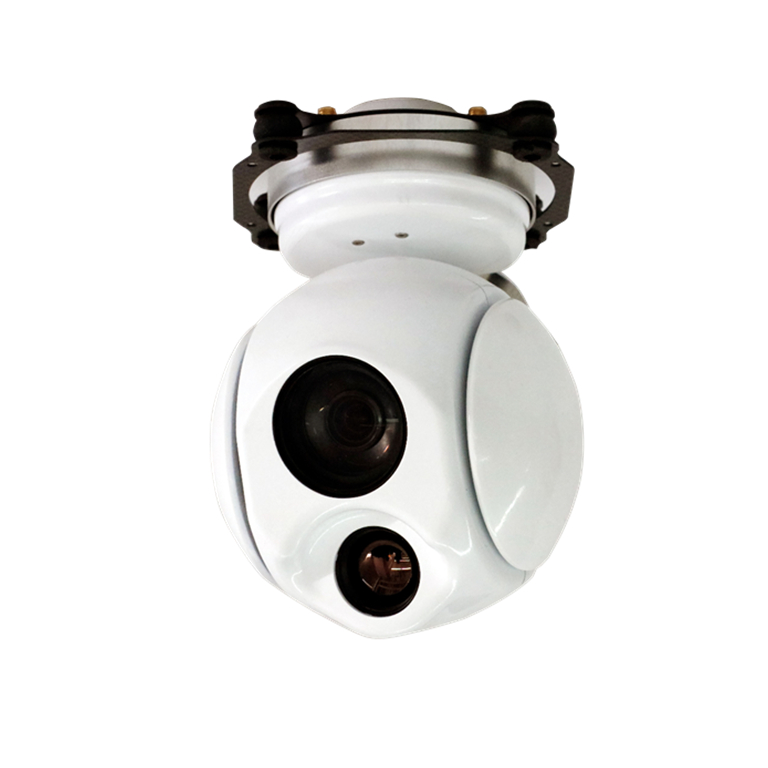
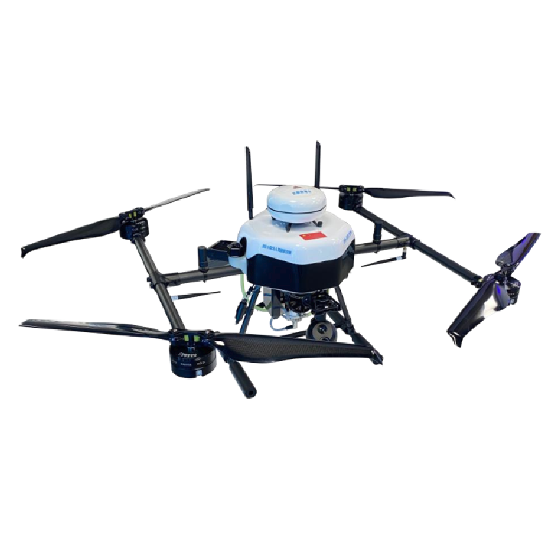
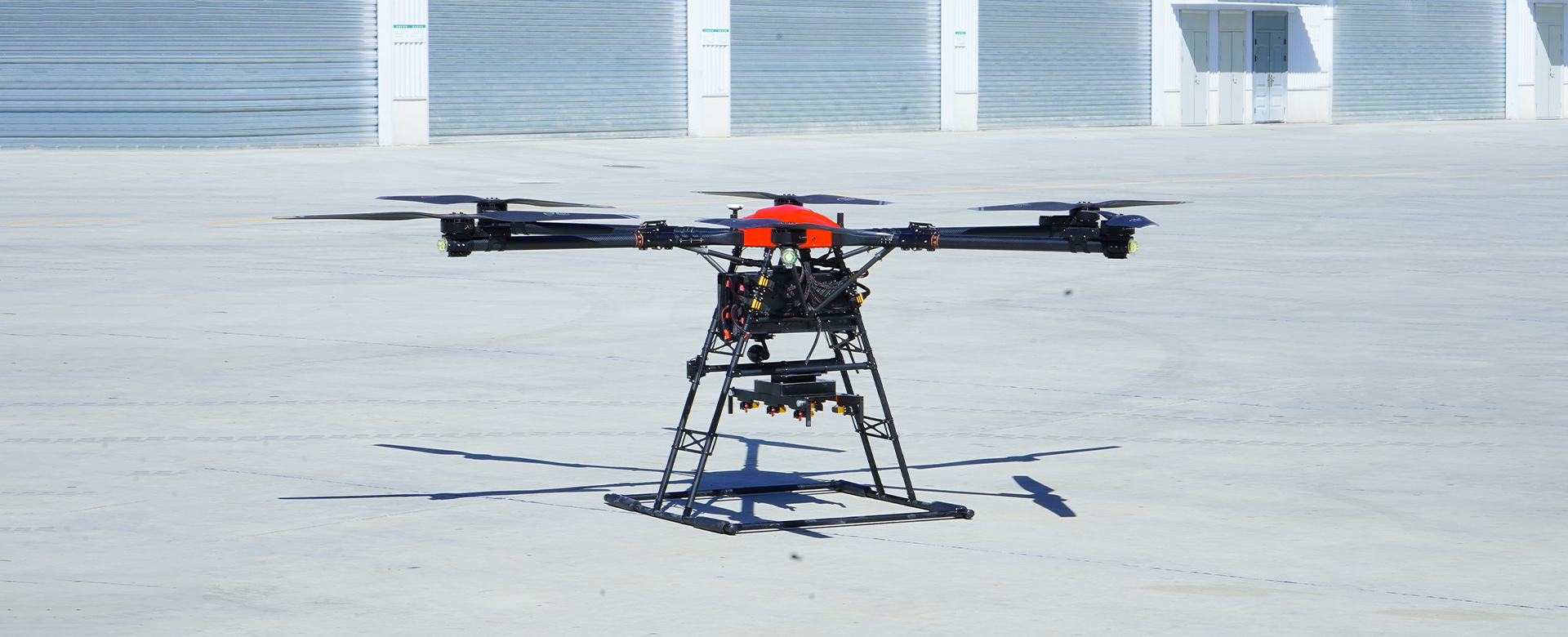
Discover the latest innovation in high altitude mapping technology with EDING Intelligent Technology Co., Ltd. Our company specializes in providing cutting-edge solutions for high altitude mapping, offering highly accurate and detailed data for a wide range of applications, Our advanced mapping technology utilizes high altitude drones equipped with state-of-the-art sensors and imaging systems, allowing us to capture precise and up-to-date geographical information. Whether you need topographic mapping, land surveying, environmental monitoring, or infrastructure assessment, our high altitude mapping services can provide you with the data you need to make informed decisions, Experience the future of high altitude mapping with EDING Intelligent Technology Co., Ltd. and revolutionize the way you collect and utilize geographical data