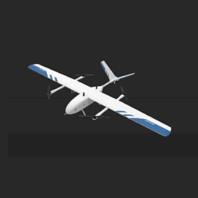
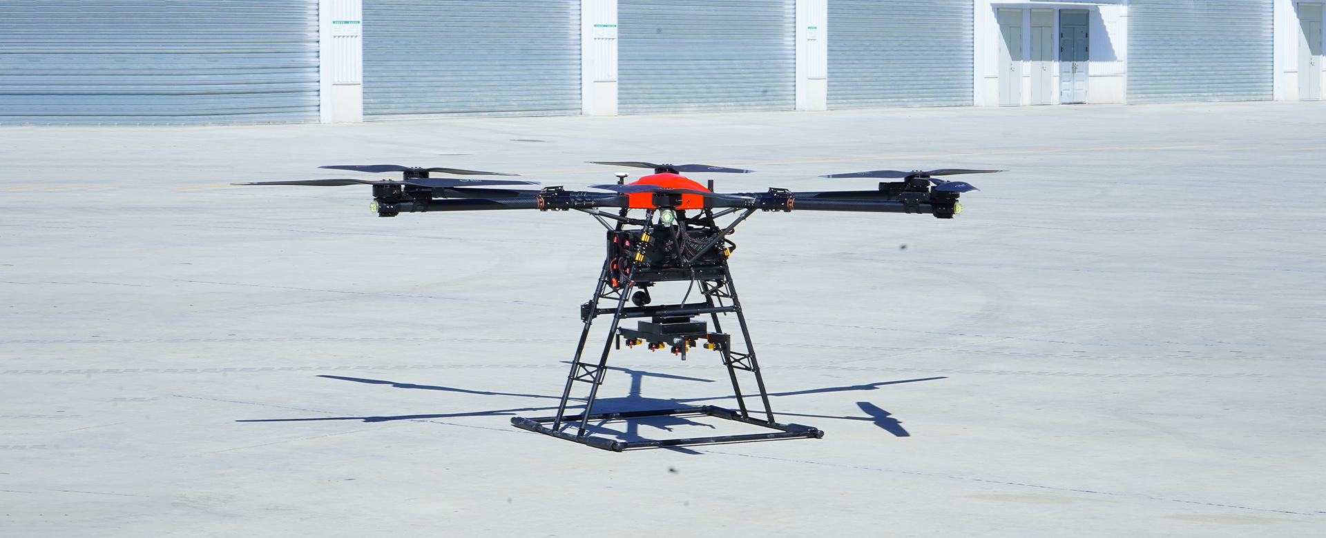
High Altitude Mapping Product - Elevate Your Mapping Experience
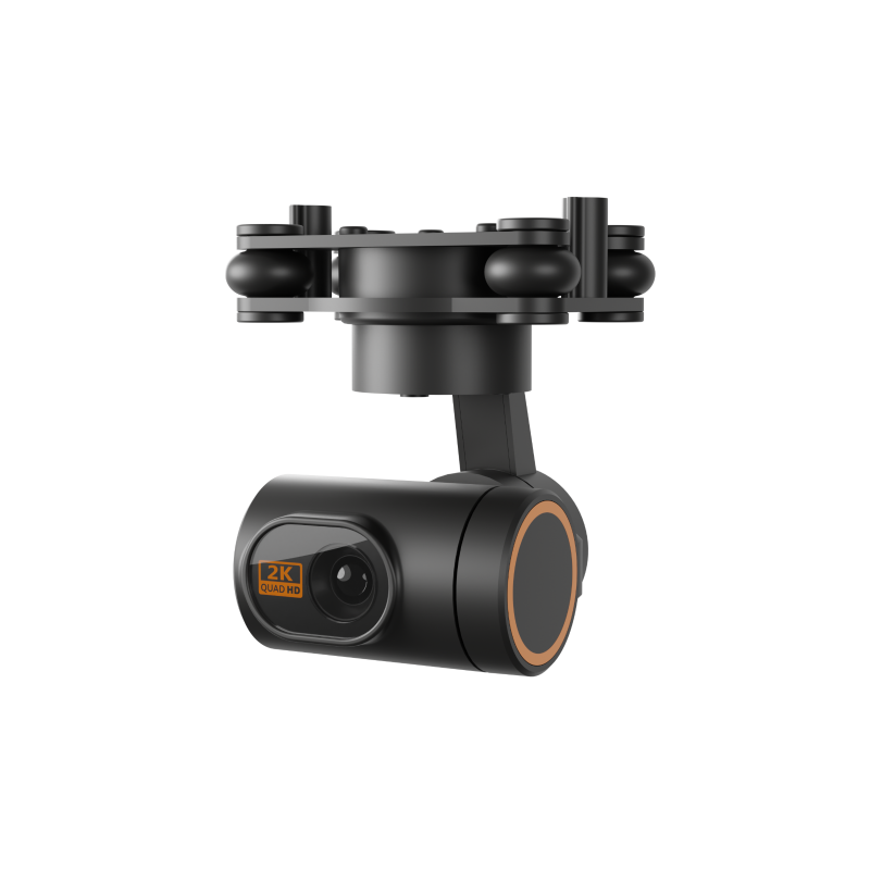
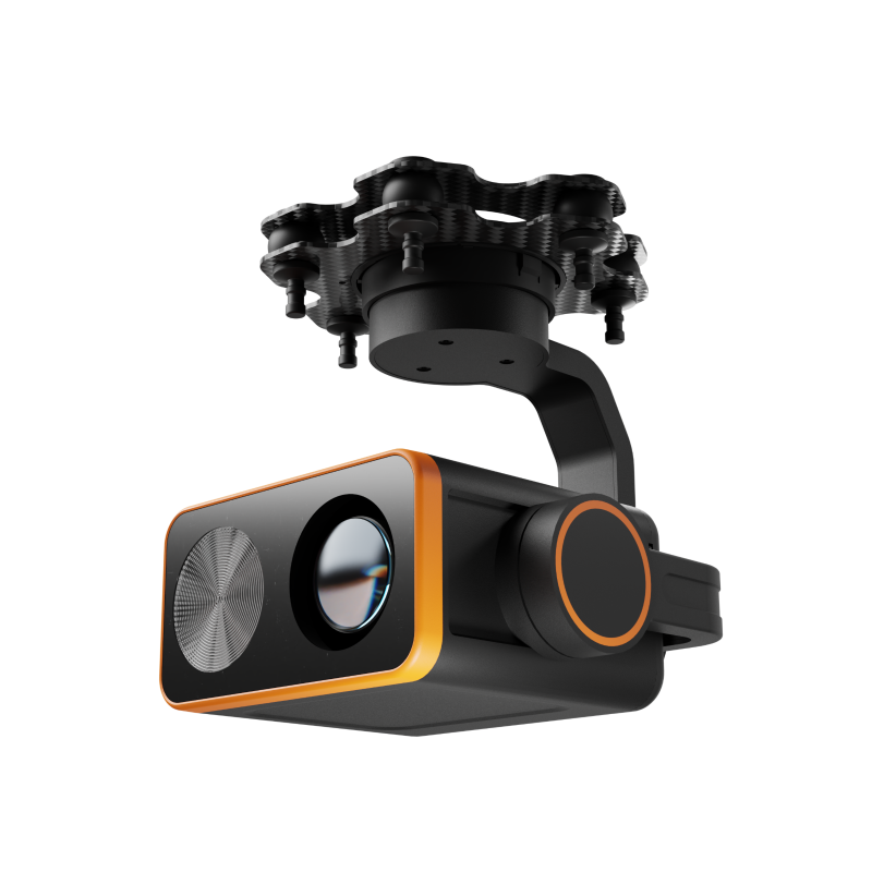
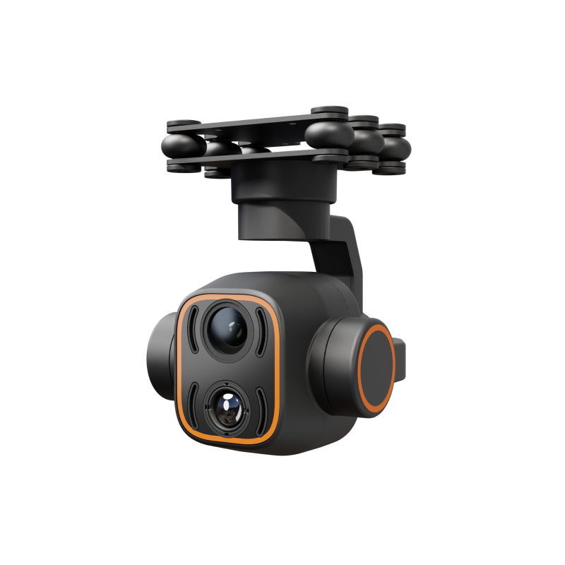
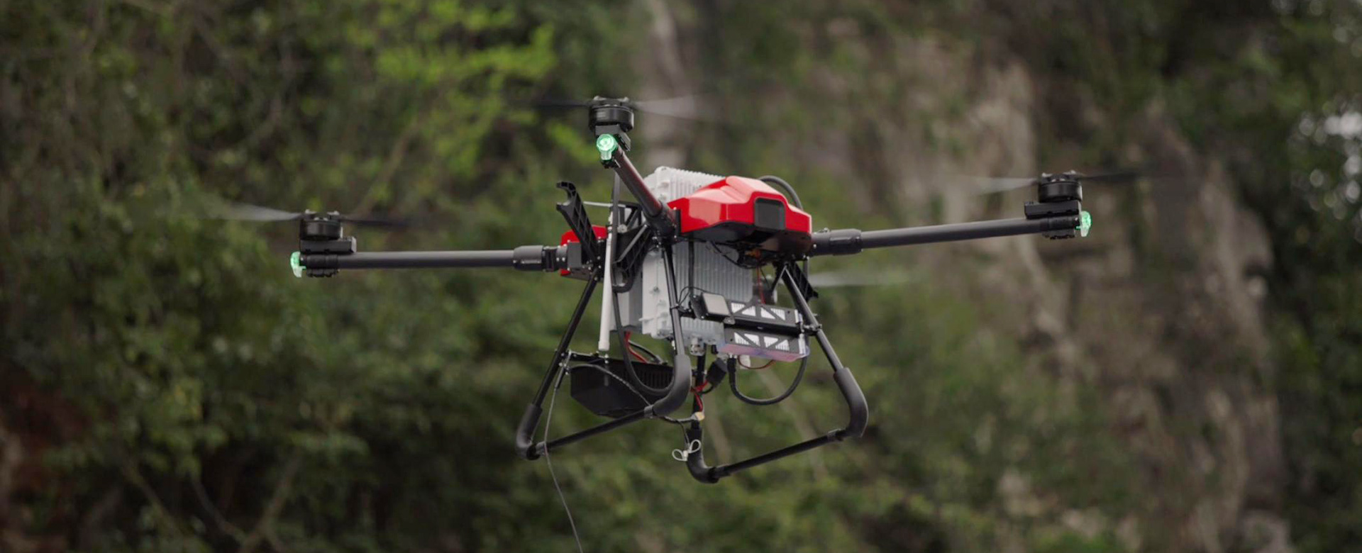
Experience the future of high altitude mapping with our cutting-edge product designed by EDING Intelligent Technology Co., Ltd. Our High Altitude Mapping Product offers unparalleled precision and reliability, making it the perfect solution for all of your aerial mapping needs, Utilizing advanced technology and a high-resolution camera, our product captures detailed images and data from altitudes that were previously inaccessible. Whether you're conducting geological surveys, monitoring environmental changes, or creating 3D models of terrain, our High Altitude Mapping Product delivers the data you need with unprecedented accuracy, Designed for easy integration with existing mapping software and platforms, our product streamlines the mapping process and provides seamless integration into your workflow. It's also equipped with intelligent features to ensure smooth operation and optimal results every time, Stay ahead of the curve and elevate your mapping capabilities with our High Altitude Mapping Product. Join the ranks of industry leaders who rely on EDING Intelligent Technology Co., Ltd. for innovative solutions that push boundaries and deliver exceptional value