
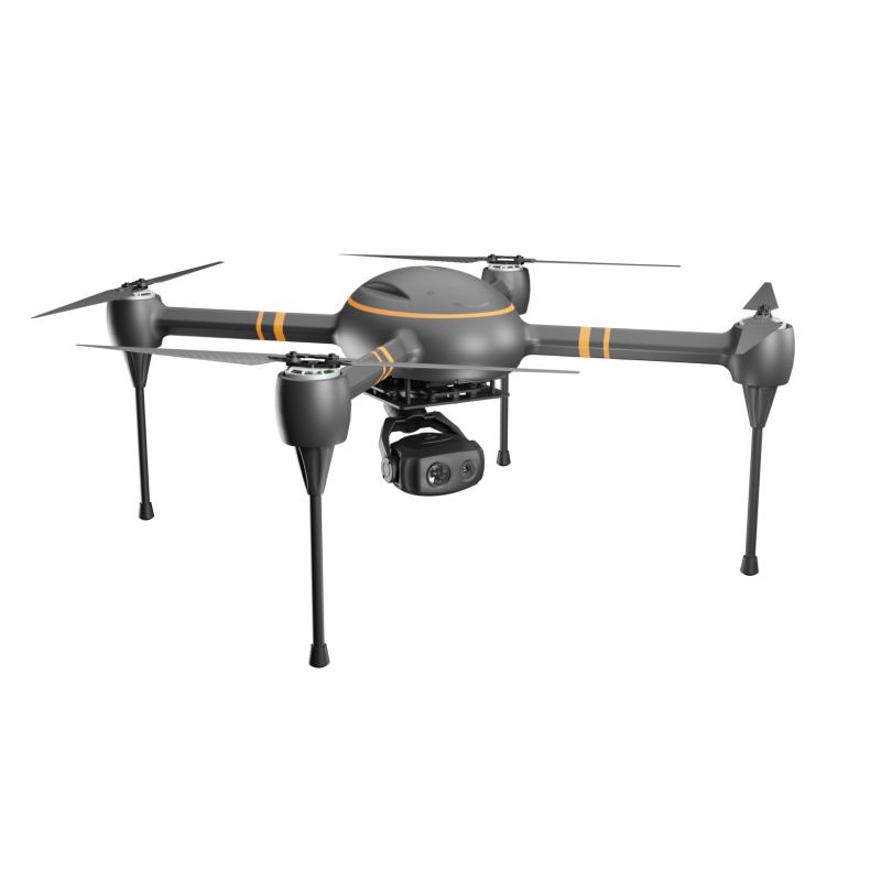

Explore the future of aerial mapping with the EDING E-8 drone
In recent years, the introduction of drones has brought revolutionary changes to the field of surveying and mapping. These drones are changing the way we collect data, create maps and conduct surveys. Among the cutting-edge drones in the field, the EDING E-8 stands out as a game-changer, offering advanced aerial mapping capabilities.
So, what exactly are surveying drones? A drone, also known as an unmanned aerial vehicle (UAV), is a small aircraft that does not require a pilot to operate. In the field of surveying and mapping, drones are equipped with high-resolution cameras, lidar sensors and GPS technology, allowing them to capture detailed aerial imagery and terrain data with extremely high accuracy. This data is then used to create 3D models, maps and orthophotos, providing valuable insights into various industries including construction, agriculture, environmental monitoring and urban planning.
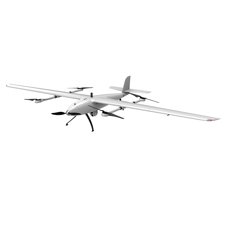
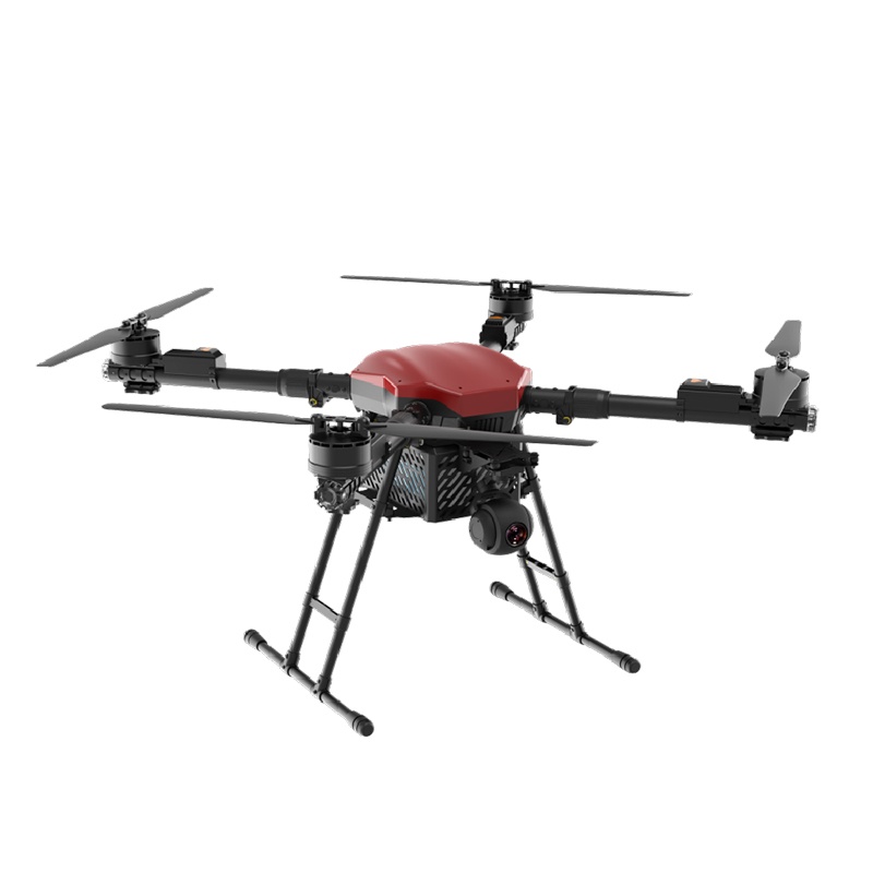
The EDING E-8 drone takes aerial surveying and mapping to the next level with its state-of-the-art capabilities. Equipped with a high-precision GNSS receiver and professional-grade camera, the E-8 captures high-resolution imagery and geo-referenced data with exceptional accuracy. Its advanced flight planning and autonomous navigation capabilities enable it to effectively cover large areas, making it an ideal tool for surveying and mapping projects.
One of the main advantages of using the EDING E-8 drone for aerial mapping is its ability to access hard-to-reach or hazardous areas. Traditional surveying methods often face limitations when capturing data in remote or challenging terrains. However, the E-8 drone can easily navigate rough terrain, dense vegetation and hard-to-reach locations, providing comprehensive data for mapping and analysis.
Additionally, the E-8's ability to quickly collect and process aerial data significantly reduces the time and cost of mapping projects. This not only improves efficiency but also improves the overall accuracy and quality of the data obtained.
In summary, the EDING E-8 drone represents the future of aerial mapping, providing unparalleled capabilities for capturing, analyzing and visualizing geospatial information. As technology continues to advance, drones like the E-8 will play a key role in shaping the way we perceive and interact with the world around us, opening up new possibilities for innovation and discovery in surveying and mapping.
Tel:+86 18825057975
Email:edinguas@gmail.com