
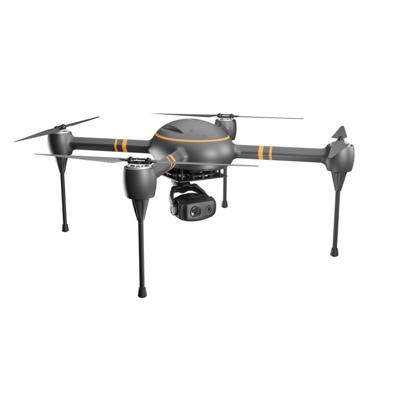
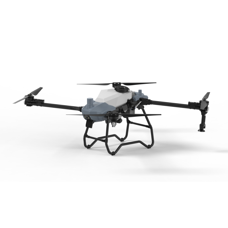
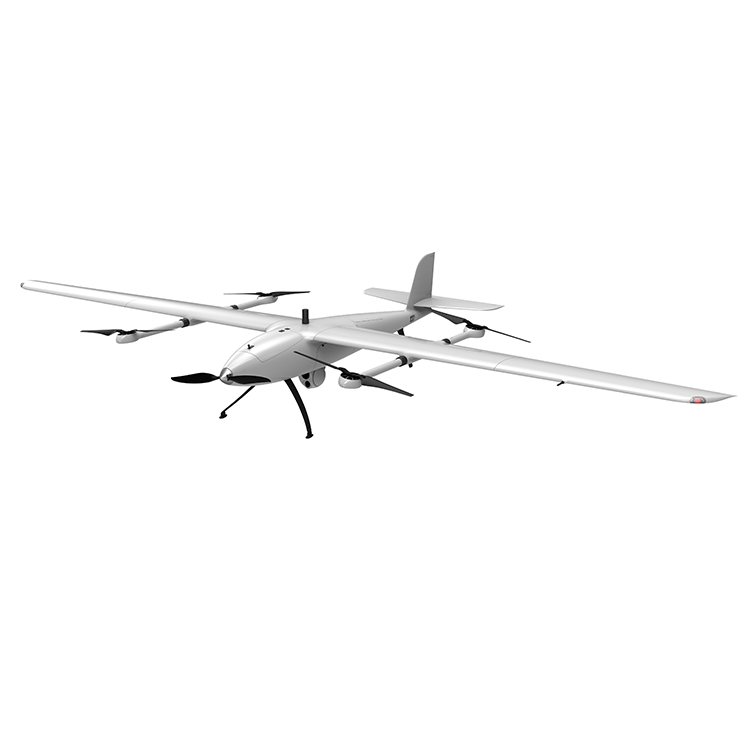
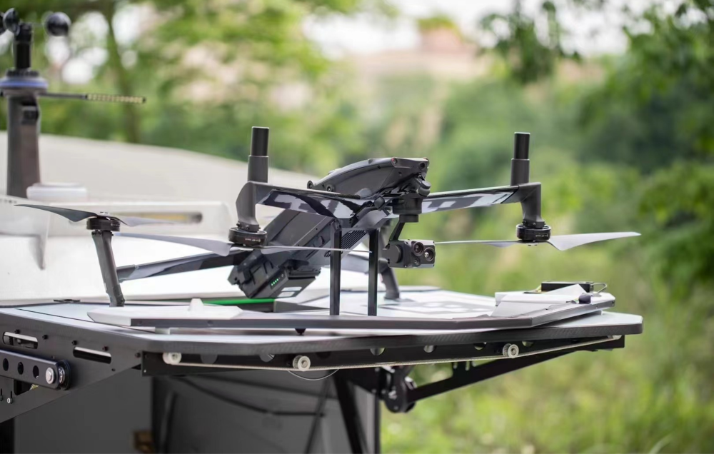
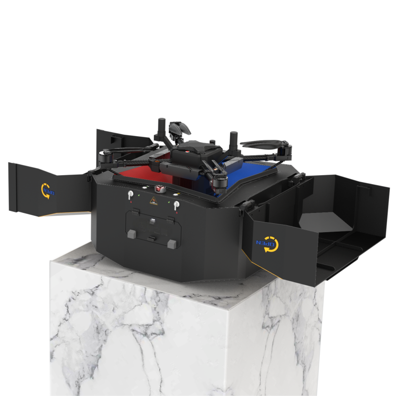
The role of drones in flood control

Daily wide area monitoring in flood zone
It can form a provincial real-time dynamic water information monitoring and forecasting network, unmanned flood control combinations such as UAV radar flow measurement, UAV video flow measurement, unmanned ship equipped with single-beam underwater topographic survey system, intelligent integrated remote control terminal, etc., through optical fiber digital electrical appliances, 4G/5G network or Beidou satellite network, the collected hydrological data is converted into digital signals for uploading and compiling. Real-time transmission into the provincial flood and drought disaster prevention dispatching command system, clearly summarized into a province's real-time dynamic water situation information monitoring and forecast map on the large screen of the flood and drought disaster prevention duty room, serving all levels of flood control dispatching.
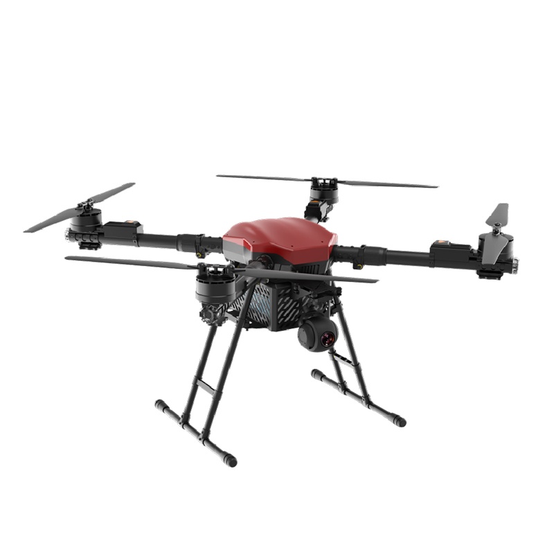
It can carry out continuous inspection and early warning of hidden dangers such as piping danger areas and termites in reservoir DAMS. The country has more than 340,000 kilometers of rivers and nearly 100,000 DAMS of various reservoirs, with many points, wide areas and long lines, and the risk of leakage is high and frequent. Rapid investigation of dam leakage in flood season is an important technical means to cut off the disaster chain of dam failure. Embankment inspection mainly relies on artificial embankment inspection, using eyes, ears, feet and hands to distinguish. The pain point is that the labor cost is large and the pressure of inspection is large; Insufficient coverage and low efficiency.
The drones carry high-definition cameras or other sensors to remotely monitor the levees 24 hours a day to find possible cracks, holes or other types of leaks. It provides technical support for daily wide area monitoring and avoiding danger in flood area. Use drones to capture visible and thermal infrared images simultaneously (visible light to capture aerial views and obtain global images; Infrared thermal imaging to obtain temperature field cloud map), quickly identify dyke diseases, research and judge the risk of dyke, for flood season rescue and reinforcement to provide important data support.
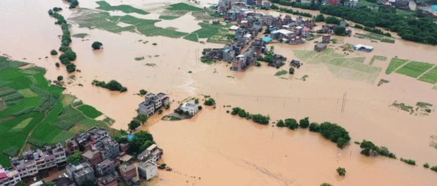
Emergency rescue during disaster in flood zone
Drones are deployed to the flood zone, and even assigned to the disaster relief and anti-flood queue, and are on call and fly with use. Because it can quickly cross the mountains, rivers and other personnel are not easy to enter and exit the flood situation of serious areas, deep into the hinterland, view the flooded area of the affected location, the collapse of the ground house, the dam burst, farmland flooded, etc., used to help the command department quickly complete emergency rescue, personnel evacuation, rescue personnel and equipment dispatch, the rescue of missing people.
Infrared thermal imaging search and rescue
If a person is trapped, the drone can carry out search and positioning through the equipment, plus equipment with night vision function, to achieve all-weather rescue. Because the flood area is usually difficult to enter, bringing great difficulties to the search and rescue of the missing and trapped people, the drone mounted infrared camera search the disaster area, can quickly search the trapped people, and win valuable time for rescue.
Material delivery
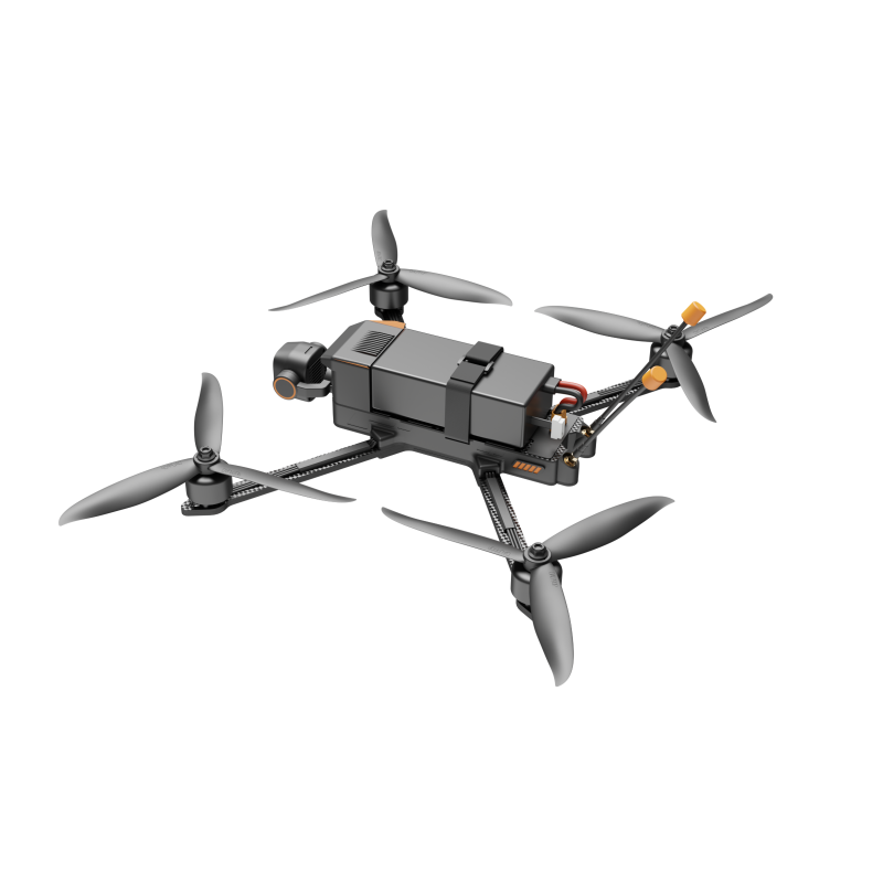
In areas where people are trapped and cannot be reached or it is difficult to reach rescue immediately, drones can be mounted with high-altitude projectiles to accurately and remotely deliver life-saving equipment such as life jackets, ropes, and first aid kits, or supplies such as food, tents, and drinking water, so as to gain valuable waiting time for rescue for trapped people.
Communication support
Heavy rain, flood conditions, strong winds may make the disaster area communication network completely interrupted. The UAV is equipped with the air communication base station system, integrates the air networking, high point relay and other technologies, realizes the image, voice and data up and down, horizontal interconnection, visual command, helps to comprehensively build the "air and earth" integrated emergency communication support system, and can also provide emergency communication services for the masses in the disaster area, so that they can report safety to relatives and friends in time.
Shout from above
Real-time shouts from above can have a calming effect on the affected people. The use of drone mounted wireless loudspeaker high-altitude cruise, air broadcast warning or soothing voice, in the masses emergency evacuation, evacuation, rescue work can play a convenient role.
Emergency aerial survey aerial photography
Flood and other natural disasters are characterized by sudden occurrence. The key to disaster emergency rescue is rapid response. Timely and fast disaster information plays a vital role in formulating rescue strategy and improving rescue efficiency. Uav has the characteristics of strong real-time, mobile and flexible, high image resolution, low cost and high safety. It can operate in high-risk airspace after disasters, especially after information interruption and traffic obstruction, use UAV to cross mountains and rivers and penetrate into the hinterland of flood areas for aerial survey and aerial photography of disaster, so that command departments can grasp the situation of flood areas in a faster time.