
01
What are the benefits of drone surveyingand how does it work
2024-04-28 16:09:34
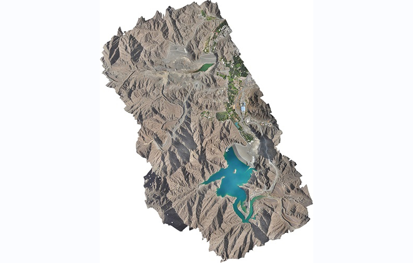
Surveys are required before archaeologists can begin digging, as it is vital to identify the precise location and elevation of areas that may hold interest. Drones enable fast, accurate surveys at minimal expense and allow the team to locate promising areas, and commence work far faster than land-based surveying allows; and more cost-effectively than a helicopter survey would prove. Drones offer non-invasive surveys, which operate without disturbing the land or any local or site-related activities that would otherwise need to be stopped. Drones can create digital 3D copies of archaeological sites, limiting the need for physical intervention. The site can consequently remain intact and preserved while ensuring further historical study into the various structures remains possible.Open mines and quarries are dangerous for traditional surveyors to work in, however mapping of these worksites is often required. The combination of aerial photographic capture and the ability to process this into 3D computer models in a fraction of the time is what makes drones and Drones-as-a-Service (DaaS) the popular modern choice for surveying. One prime example of drones excelling in their usage would be the surveying of the largest quarry within a day. Surveying the 13.7km2 limestone quarry in Ras Al Khaimah previously took 2 months, however, drones typically take two days to compile that data. Using our expansive drone fleet, we completed the 13.7km2 survey within the record time of a single day. Not only was that survey completed 60x faster than through traditional methods, it also greatly reduced the risk to the human labor force, as it is a high-risk site to traverse on foot.
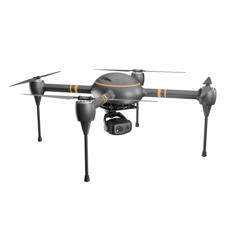
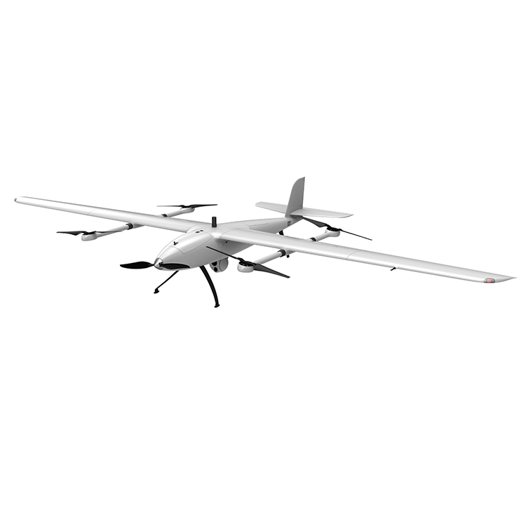
Drone surveys are a faster, safer, and more cost-effective way to survey at a height. Whether referred to as Unmanned Aerial System (UAS), Unmanned Aerial Vehicle (UAV), or aerial surveys, this innovative approach to capturing data from the air is fast becoming the surveying method of choice across many industries.
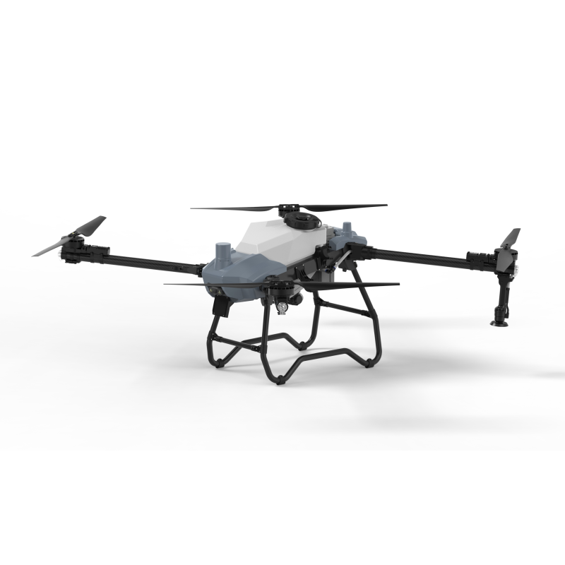
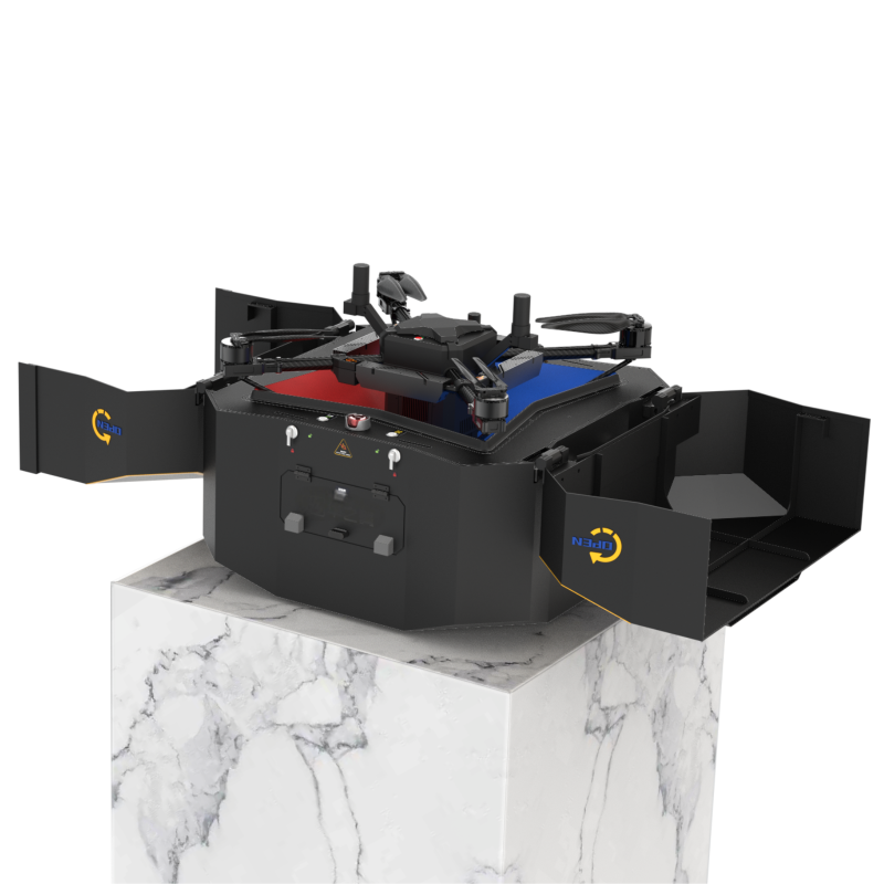
Various deliverables are made available from drone data, depending on the industry and the range of intuitive data sensors -- or payloads -- attached to the drone. These payloads are interchangeable, making the drone a very versatile piece of equipment that becomes just as useful in the inspection phase as it is in the surveying phase.
Survey results are intelligently interpreted through computer software, enabling users to view near real-time results through photogrammetry and laser imaging. Quick access to data allows operations to advance at an accelerated pace, compared to traditional surveying which would take weeks to months to compile data.
The Benefits of Using Drones for Surveying
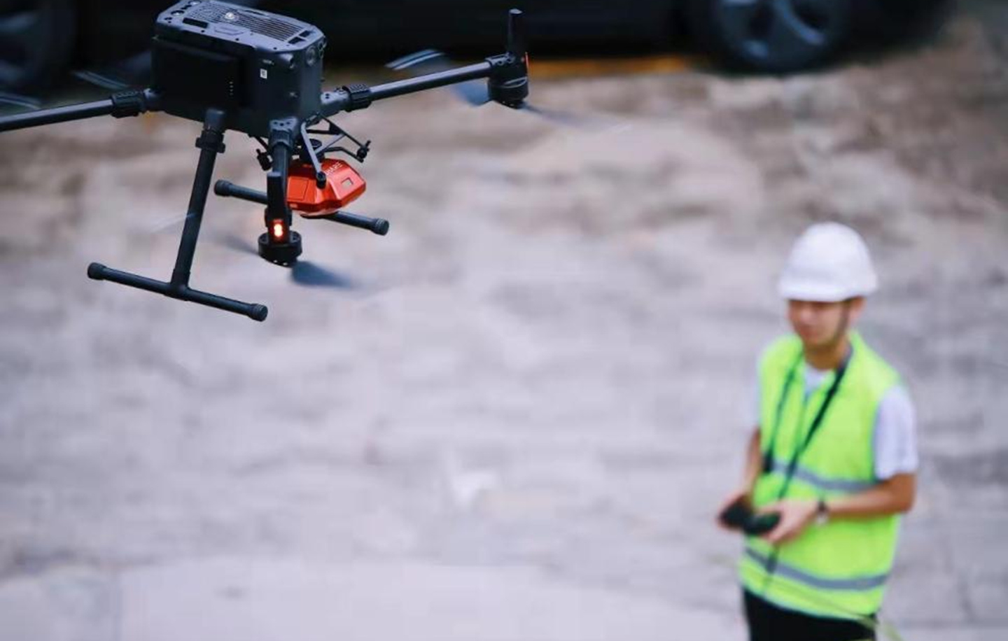
Unmanned Aerial Vehicles (UAVs), excel at rapidly acquiring data from points and perspectives that would otherwise be inaccessible to humans. Drones enable the easy collection of data through accurate surveys without posing the risk of dangerous terrain, dust, or even tight spaces to surveyors. Human operators no longer need to physically access and measure points in hazardous or difficult-to-reach locations.
2. On-Site Work Continues Unaffected
Due to the aerial data capture of drones, operations can continue on the ground with no interference from the drones as they survey the area. This is the case for initial surveys and consequent progression surveys.
3. Reduced Manpower Requirements
Multiple specialists are typically present during traditional surveys, but this labor force can be bypassed by using drones; avoiding human error while saving time and money in terms of both labor costs and rework costs.
4. Accurate Data & Precise Measurements

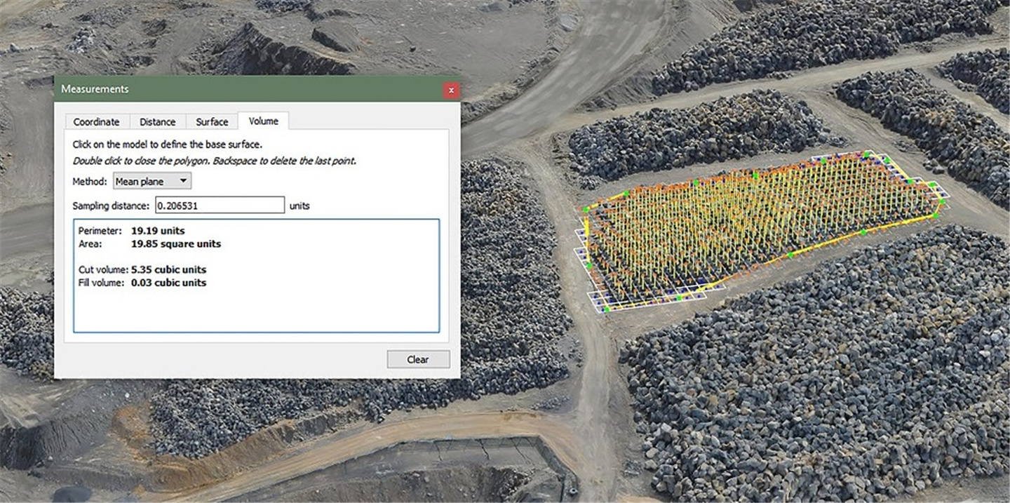
A series of high-definition photographs are taken at different angles, enabling drones to create thousands of accurate data points. These data points include elevation points, geo-references, and colors, enabling 3D models of buildings and sites to be created by developers. Highly accurate distances and volumetric measurements can easily be extruded from this drone data, accurate to within 2-3 cm, and up to 1 cm Ground Sampling Distance (GSD).
5. Mapping Inaccessible Areas
Some slopes may be too steep or unsafe for a human workforce to traverse and measure with traditional tools, however, drones take this concern out of the picture entirely. Surveyors no longer need to work in high-risk situations, including live railways and difficult terrain, as land surveying can be done far more quickly and effectively via drones. Surveys can be carried out accurately through drone usage, regardless of the level of accessibility humans would have to contend with on the ground.
What Can Drones Survey?
Drones can reach areas and work in areas that humans may not be able to, so their surveying applications span multiple industries. Not only that, but drones can be used for many different ongoing operations, such as site progress reporting and locating maintenance requirements or underperforming parts. Let’s take a look at how different industries are finding drone surveys a better alternative to traditional surveying.
Construction
Pre-construction, drones can be used to survey the site and provide accurate information to associated workers before work commences. Drones can assist in establishing plot boundaries, subdivisions, and land suitability before any ground is broken. Safety and legality can be addressed before the project commences on the basis of drone reports.
During construction, site progress can be monitored and shown through digital overlays. If the drone is on-site, whether aerial or crane-mounted, it can be remotely instructed to prepare a progress report in near real-time, without interfering with any work occurring on-site at the time.
Hazards can be identified and flagged up before the labor force below comes in contact with them, thereby improving safety; and stock takes can be done from overhead, based on the volumetric measurements of the supplies the drone sees.
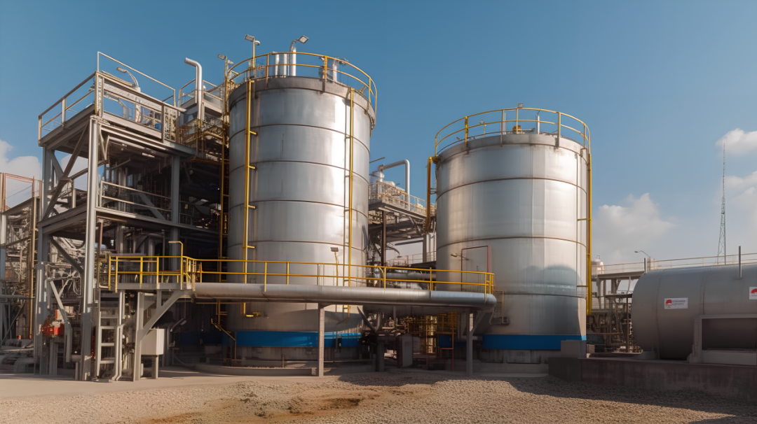
Oil & Gas
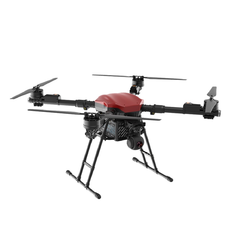
The DJI Matrice 300 RTK drone is used in oil and gas surveys as it is the best commercial drone for surveying. As the installation of pipelines requires meticulous planning, drone surveys help oil and gas companies establish where pipelines can and cannot be laid.
Natural resources, conservation sites, pre-existing infrastructure, and privately owned property all influence where pipelines can be placed, and data from the drone can be used to quickly establish areas that are out of bounds.
Infrastructure
The precise details of the surrounding land are vital for any civil engineer. Drone imaging helps those within the infrastructure industry examine areas and assess whether the land is suitable for construction and what may require reshaping or addressing within the proposed project.
The precise details of the surrounding land are vital for any civil engineer. Drone imaging helps those within the infrastructure industry examine areas and assess whether the land is suitable for construction and what may require reshaping or addressing within the proposed project.
Drone technology helps engineers gather accurate ground-level data by assisting them in the designing of road systems and bridges. Hydrology studies can also be performed by drones, further assisting with urban and city planning.
Archaeology
Mining
Cadastral Survey
Open mines and quarries are dangerous for traditional surveyors to work in, however mapping of these worksites is often required. The combination of aerial photographic capture and the ability to process this into 3D computer models in a fraction of the time is what makes drones and Drones-as-a-Service (DaaS) the popular modern choice for surveying. One prime example of drones excelling in their usage would be the surveying of the largest quarry within a day. Surveying the 13.7km2 limestone quarry in Ras Al Khaimah previously took 2 months, however, drones typically take two days to compile that data. Using our expansive drone fleet, we completed the 13.7km2 survey within the record time of a single day. Not only was that survey completed 60x faster than through traditional methods, but it also greatly reduced the risk to the human labor force, as it is a high-risk site to traverse on foot.
In Conclusion
Due to the accuracy of the results and far faster turnaround time, using drones to survey a multitude of projects in any industry is a highly cost-effective and time-saving method. It is rapidly becoming the modern way to gather concise data while saving money. Drone surveying is cost-effective, fast, and displays aspects we cannot see with the human eye, such as thermal differences. The increase in safety that drone surveys offer is beyond comparison, as no amount of on-site safety measures can reduce the risk to human surveyors to the same extent as drones can. The speed at which data is captured can also not be parallelled by on-site personnel. Avoiding the outlay of drones, their payload