
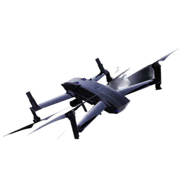


Revolutionizing Aerial Surveying and Mapping drone EDING E-8
Product Introduction
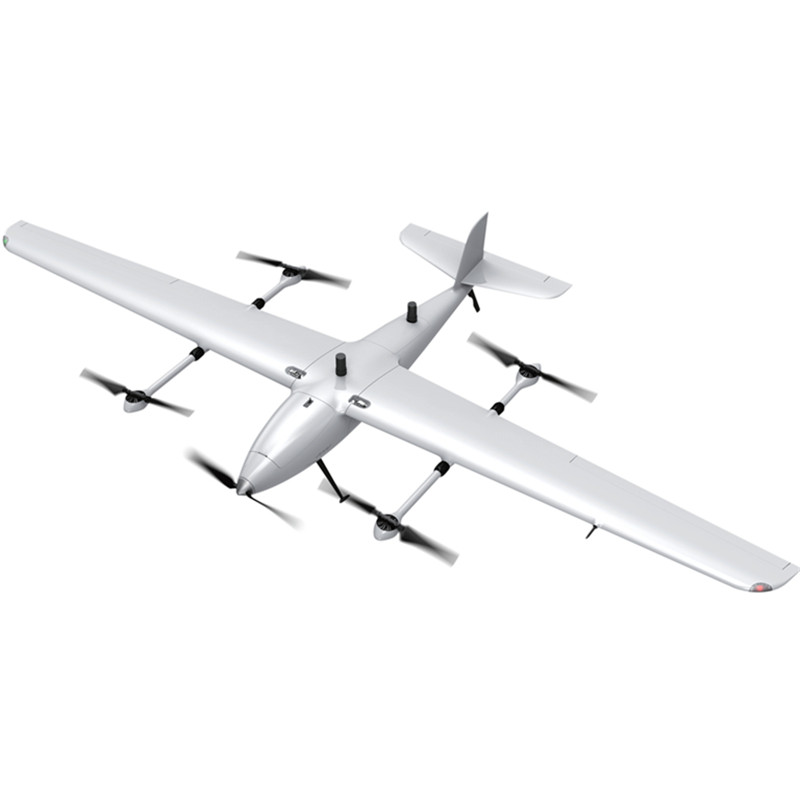
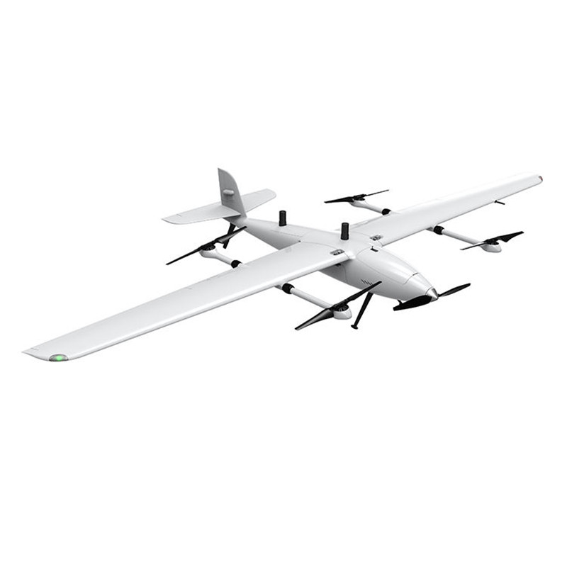
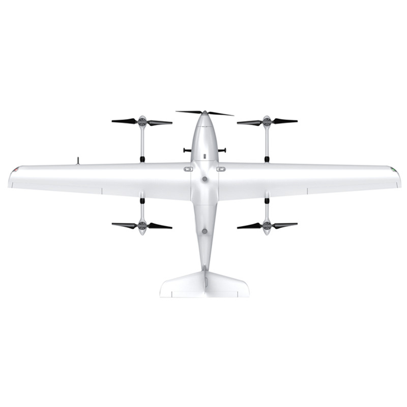
The E-8 is engineered to deliver exceptional results, boasting a higher battery life, more reliable flight performance, and unparalleled flight accuracy. Its maximum take-off weight of 7.5kg ensures that it can effortlessly handle demanding surveying tasks with ease and efficiency.
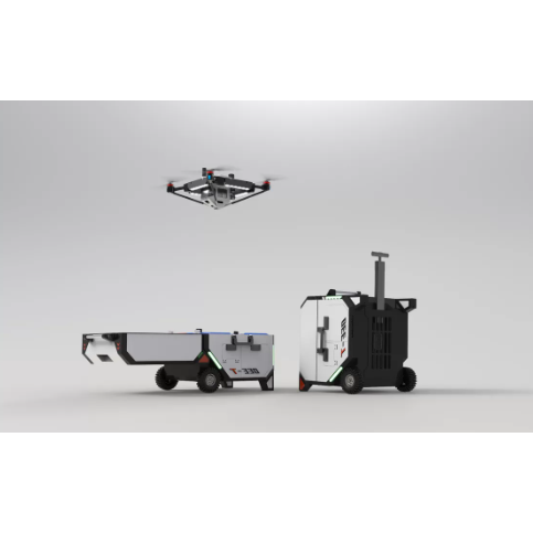
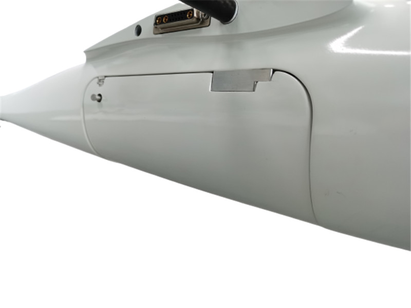
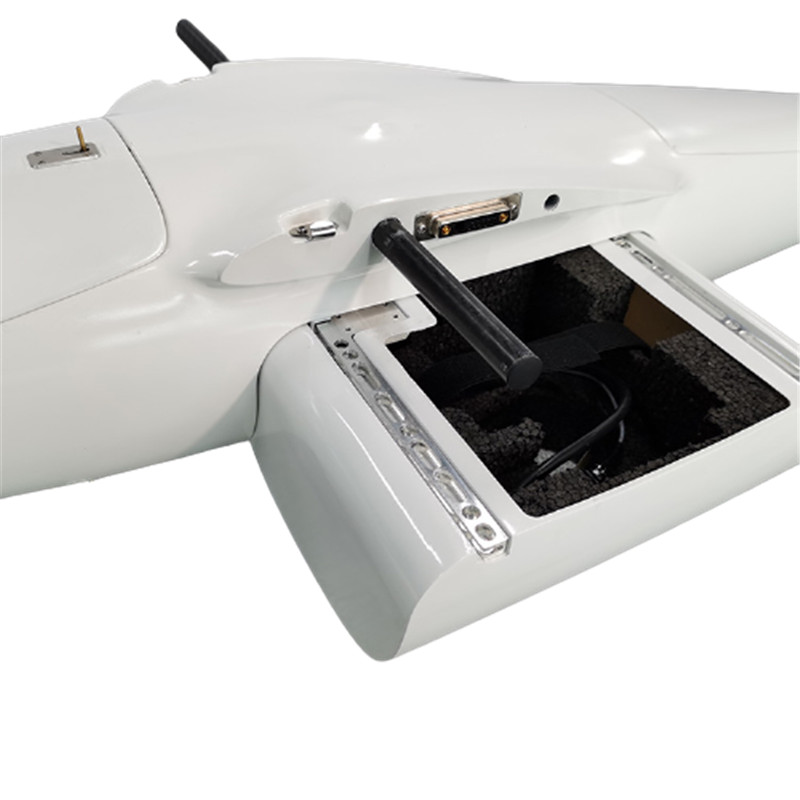
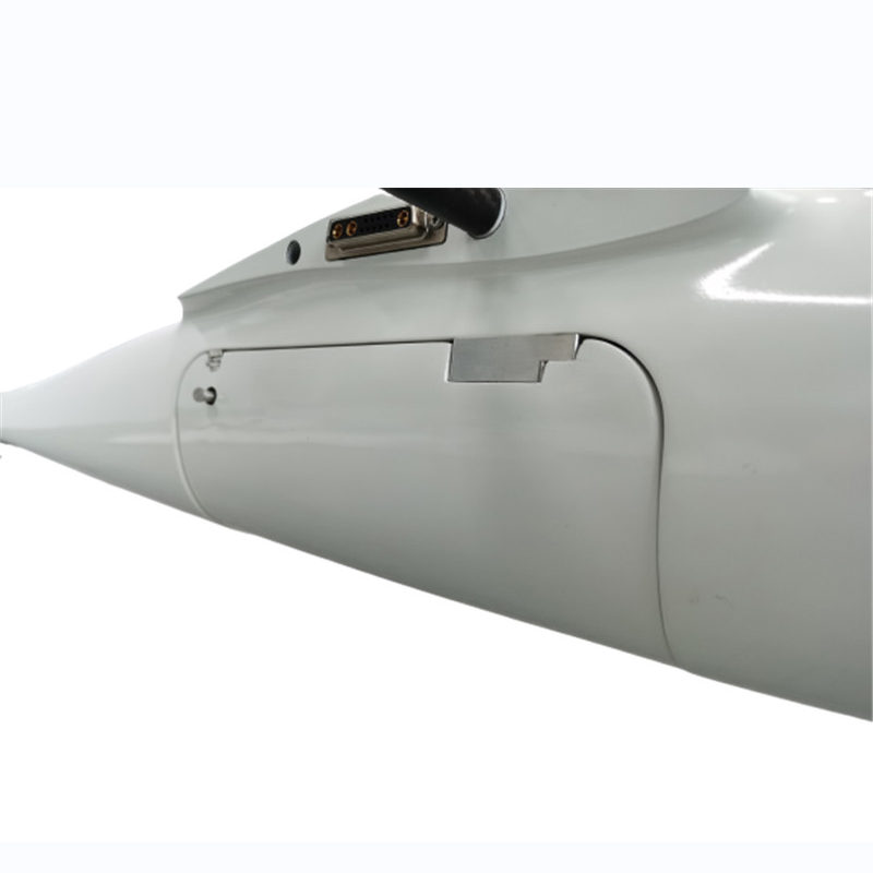
One of the standout features of the E-8 is its modular design, which allows for quick deployment in just 1 minute. This innovative approach not only saves valuable time but also enhances the overall user experience, making it a game-changer in the industry. Additionally, the independent drawer-type load compartment design enables swift and hassle-free replacement, further streamlining operations for users.
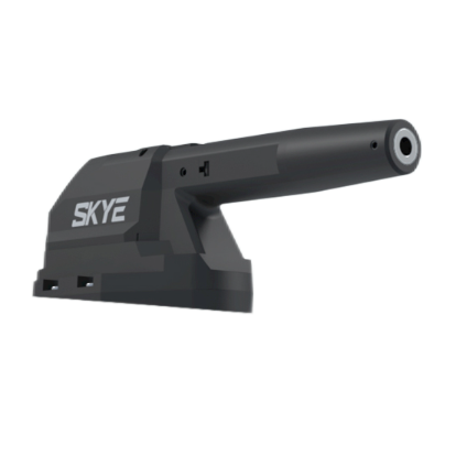
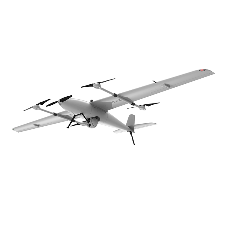
Furthermore, the E-8 offers unparalleled flexibility, allowing users to choose between orthographic or oblique cameras based on their specific operational requirements. This adaptability ensures that the E-8 can cater to a wide range of surveying and mapping needs, making it a versatile and indispensable tool for professionals in the field.
Compared to its predecessor, the first-generation M8, the E-8 offers a vastly improved product experience, setting a new benchmark for excellence in aerial surveying and mapping. Its enhanced capabilities and user-friendly design make it a standout choice for those seeking uncompromising performance and reliability.
In conclusion, the E-8 is poised to make a significant impact in the surveying and mapping industry, offering unmatched precision, efficiency, and versatility. Whether you are a seasoned professional or a passionate enthusiast, the E-8 is the ultimate tool to take your aerial surveying and mapping endeavors to new heights.
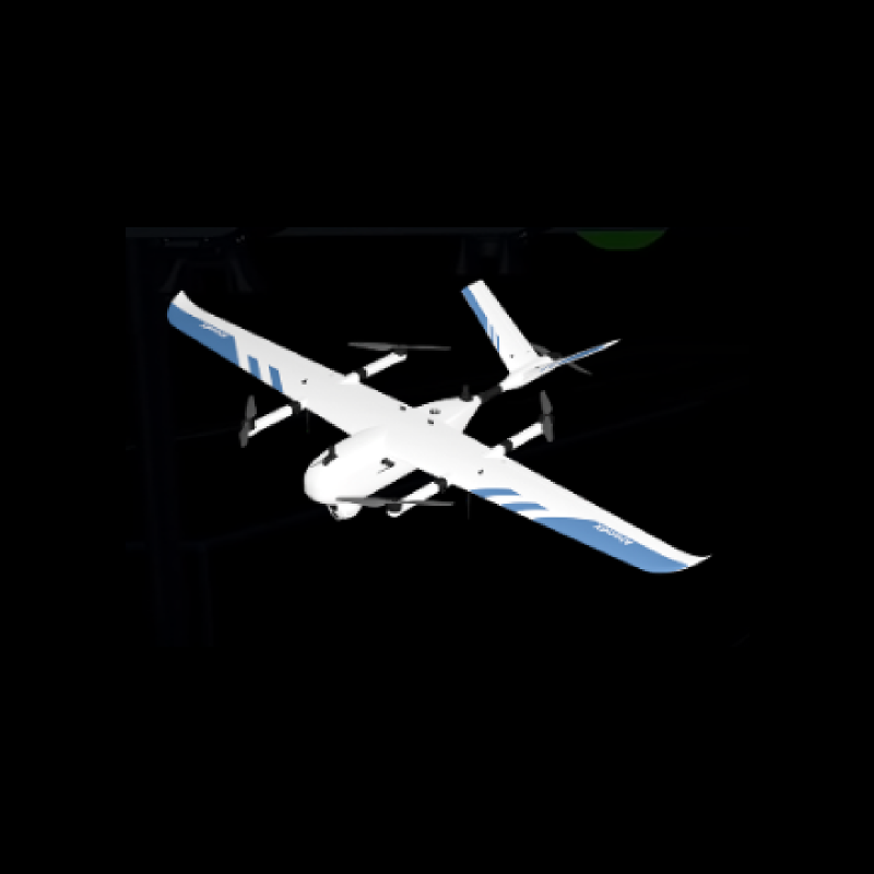
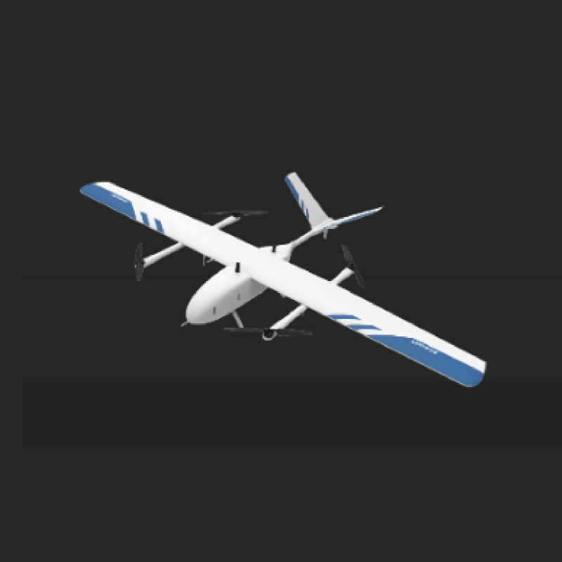
Product images
Specifications
Material |
carbon fiber +composite |
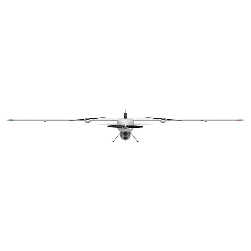
Dimension |
2500mm*1486mm |
Empty Weight |
4.5kg |
Package Size |
1200*420*300mm |
Wing type |
Composite wing (4+1) |
Max Weight |
1KG |
Endurance |
190min |
Flight Altitude |
4500m(±500m) |
Max Control Radius |
15km(WVR) |
Max Vertical Speed |
5m/s |
Max Horizontal Speed |
75km/h(21m/s) |
Work temperature |
-10~60℃ |
Dust and waterproof class |
IP54 and light rain |
Wind resistance |
level 6 |
Standard ortho camera |
Sony A7r2+40mm |
Battery |
25000mAh 6s*1 |